The river and canals in the old Zhabei experience different disruptions in different periods. The canals in this area were initially excavated to build up the dike paddy fields for rice planting since the eleventh century. The area underwent rapid or slow urbanization from the 17th to the 20th centuries. After the destruction of wars, it was re-built up for residence and manufacture in the second half of the 20th century, when the waterway narrowed and the water got heavily polluted. The pollution was successfully treated around 2000. But the re-connection between the canals and the communities is still out of concern.
Rationale
This case study aims at re-building the connections between the communities and the canals through telling the multi-layers of the river-city history. It is important to attract the locals to this commune space to touch upon the nature, share their memories and bring vitality back to the place. Furthermore, the Wusong River is called the mother river of Shanghai. Its well-preserved stretch in Zhabei contains the legends about this river and its canals. The research on this stretch will enrich the history of the city and would serve as an example of reviving river-city nexus for others.
Strategy
We have three revitalization goals for our studied area.
The first is to get more people aware of the cultural significance of the river and the canals. The biography and maps are supposed to attract more diverse visitors to the sites.
By disseminating the importance of the waterside space, our second goal is to get the waterside space more accessible to all the public, giving the nature back to the city.
With the help of an interactive facility on mobile and several local activities, our final goal is to re-unite the local communities by visiting the waterside places and sharing their own stories about the sites with each other.
Our project is to tell more people in and out of the area that Zhabei, the long neglected and discriminated area, witnesses a long and rich history just as the city center. Enhancing the importance of the area offers a chance for the locals to be heard and understood with deserved respect. Only in this way, they can resist against any unjust transition of the river-and-canal space with confidence in the future. With daily engagement in the waterside, visitors can also supervise potential changes harmful to the water and the city.
Methods
There are three periods in history that we will focus on, based on several different historical resources.
The local gazetteers since the seventeenth century until current times are used for all three periods, reconstructing the waterway transitions and the changes of the functions of the canals. Modern archive on the urban construction is to show the fast development since the twentieth century. Interviews to the local communities along the canals and in the area will be conducted, collecting oral history about the river city. A river-and-canal biography is to be firstly written by our team. Then we will invite the local residents to review the manuscript, and with them organize a public “exhibition” along the canals. The dissemination of the stories on social media is also under consideration.
We will also map the facilities along the waterways such as the water gates, the ferries and the bridges, whose constructions indicate the development of the area. The mapping objects of period 1,2,3 focus on temples, modern urban infrastructures and the neighborhoods and industries respectively. Mapping serves both as a research process and a pedagogical tool in our project. All the spatial and non-spatial, visual and auditory information will be shown on a GIS-based application on mobiles.
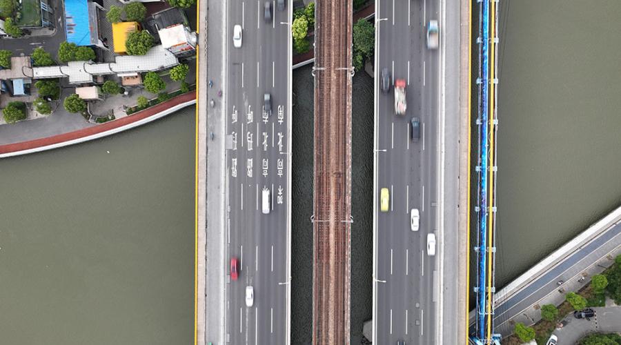
Bird's eye view of Yunzao Creek
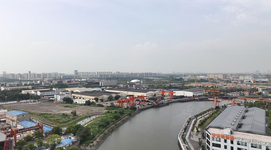
Bird's eye view of Yunzao Creek
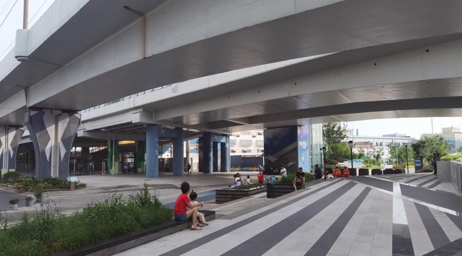
The Highway Park near Yunzao Creek
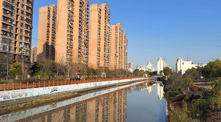
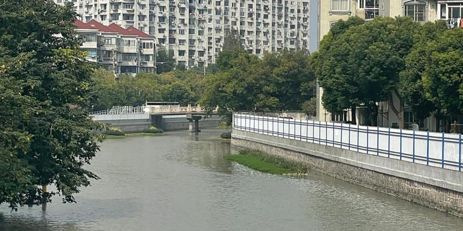
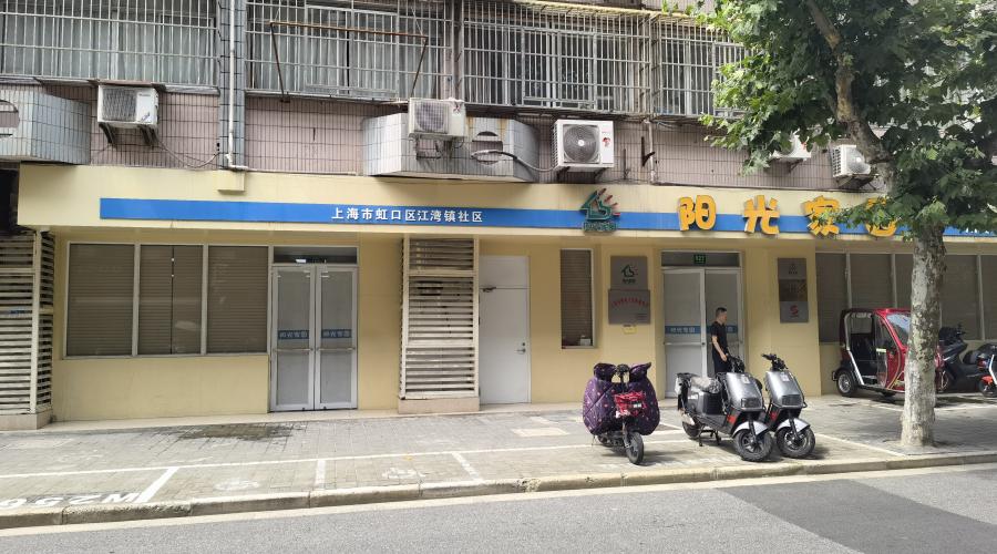
Neighborhoods near Zouma Creek
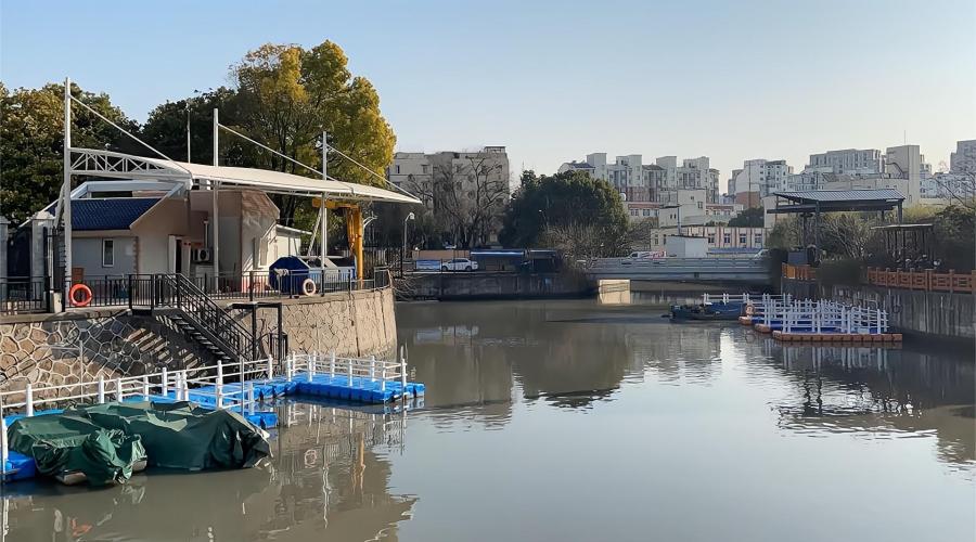
Dock on the bank of Zouma Creek
The traditional street on the bank of Nansi Creek in the Jiangwan Town
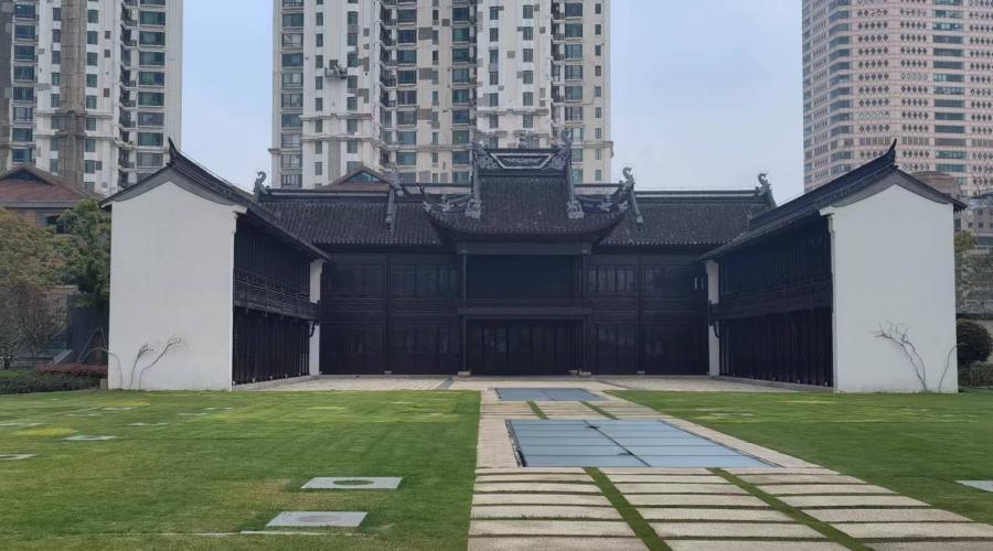
The re-constructed Tianhou Temple, on the bank of the main stream of the Suzhou Creek
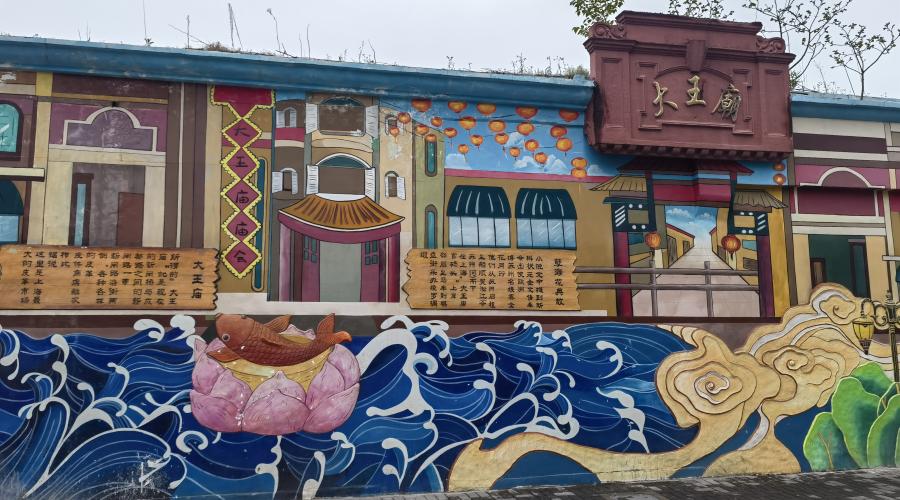
The demonstration of the former Dawang Temple , on the bank of the main stream of the Suzhou Creek