Chao Praya River is the most important arterial river of the central plain in Thailand. She connects countless natural and manmade canals across the central region down streaming to Thai gulf. Not only is she cultural heritage and main water transportation route, but she also provides all kinds of natural resources and places for human settlements. However, rather than relying merely upon Chao Praya River, Prem Prachakorn canal was initiated in 1870 by King Rama V to use the canal as a shortcut manmade waterway, linking the former to the present capital cities of Thailand, Ayuthaya and Bangkok. After shifting a water- to land-based transportation in Bangkok due to Greater Bangkok Plan, known as Licthfield plan in 1957, Prem Prachakorn canal has only been used as a drainage channel leaving its historical glory only to the past memory. Nevertheless, human settlements have remained there whereby squatters live densely encroaching the canal over time. As Bangkok’s authority and Thai government started paying more attention to Bangkok’s waterway network, we propose to study a 500 meter-long stretch of Prem Prachakorn whereby a participatory low-income housing project takes place to both clear out deteriorated shacks along the canal and house the urban poor for better lives and environment.
Rationale
The major Bangkok flood in 2011 has driven public policies to manage all informal settlements along the main and sub waterways in the lower Chao Praya River basin. Prem Prachakorn canal is one of the first affected areas under the urgent policy to control, formalize and rebuild river- and canal-side settlements as well as building hard infrastructure like retaining walls and dikes. Such a government initiative ultimately aims to protect urban areas in Bangkok from flooding.
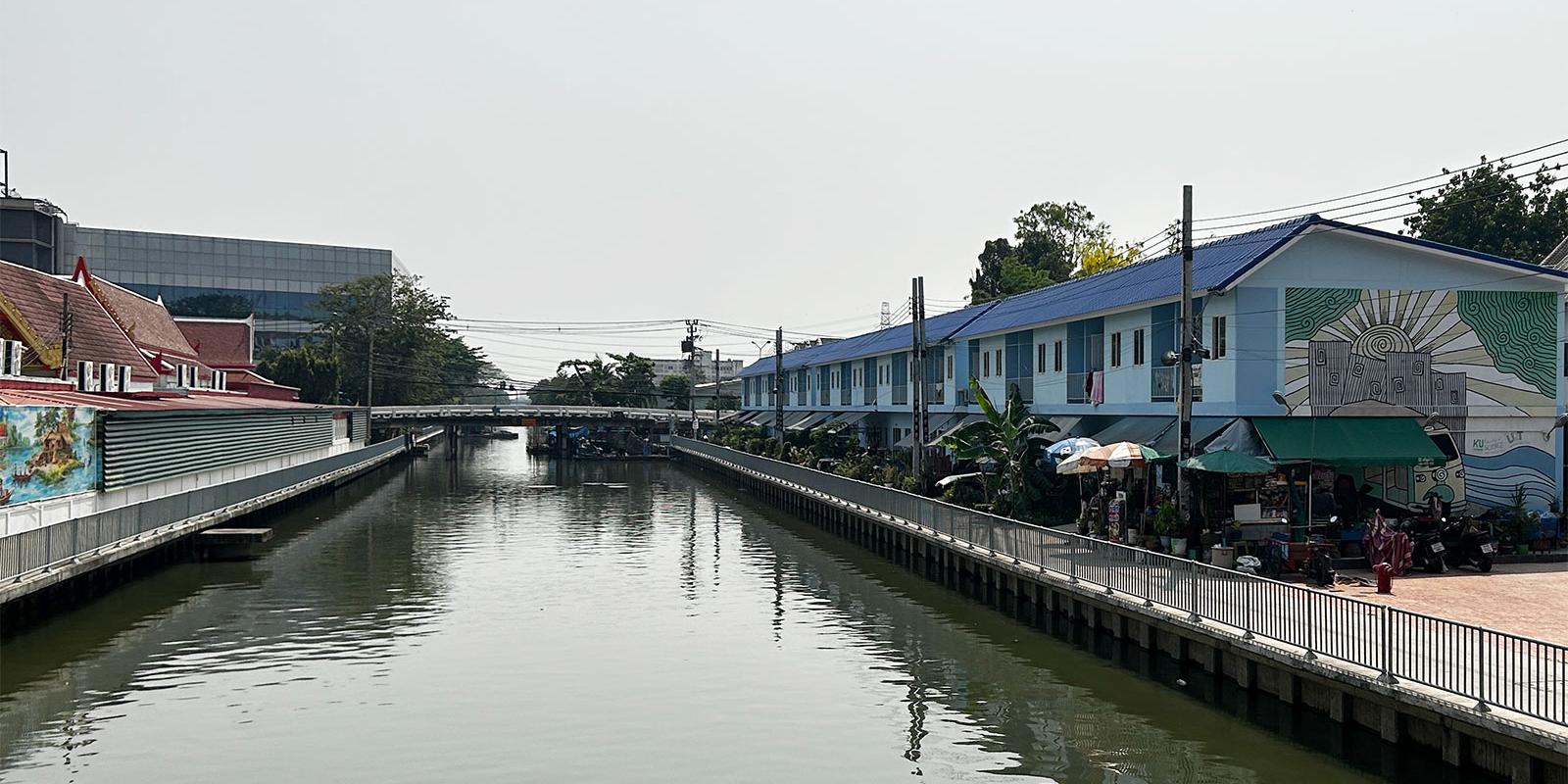
Community Organization Development Institute (CODI) through Baan Mankong (BMK), a nation-wide participatory low-income housing project, is assigned by Thai government to provide the on-site Reblocking and Relocation schemes for those targeted low-income communities. For Prem Prachakorn canal, it is particularly aimed to build new row housing for 6,340 low-income families living along the canal banks.
Strategy
Prem Prachakorn as one of the most important man-made waterways in Bangkok would represent several hundreds of Bangkok's canal network facing environmental and urban changes. Current challenges of Bangkok and its metropolitan areas are not only about disaster but also social and environmental crisis that the local people, residing along the waterways and Bangkok's population in general, have to face. Looking at one upgraded low-income settlement situated along the canal would help understand what have happened physically, environmentally and socially in the local areas. Also with technical supports to analysis maps produced digitally via satellite images and physically by the local people, more comprehensive revitalization strategies would be made possible in enhancing the nexus between river and city.
Methods
While document reviews and site visits remain key methods to understand the past and current situations of the canal and human settlements, various mapping techniques will help both collect and present changes and impact of the canal on environment and society. These include as follows
- Community map
- Greenery and open space network map
- Pedestrian circulation map
- GIS map indicating flood-prone areas
- Satellite imageries of the canal and a case-study community over periods of time
- Participatory community's resources mapping
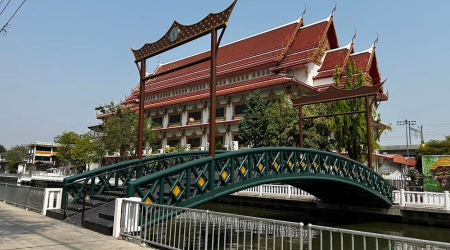
The local Buddhist temple.
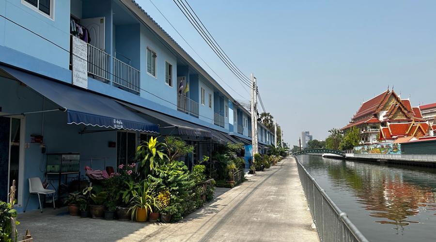
Baan Mankong communities situated along the canal.
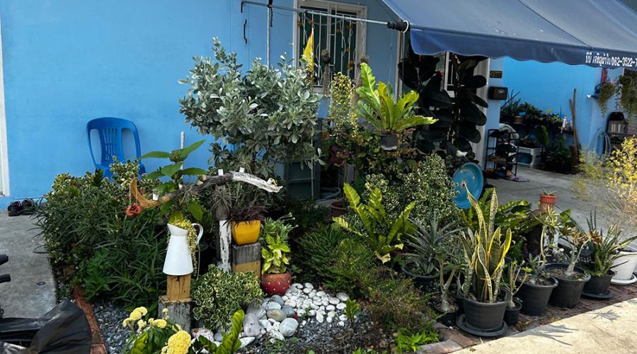
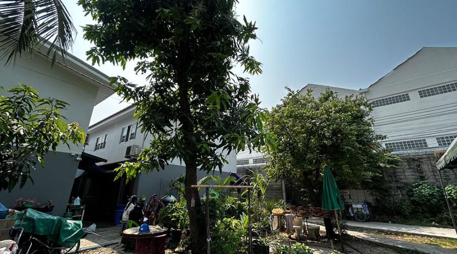
Greening the living environment practiced by the local people.
Pocket garden for leisure and recreational purposes.