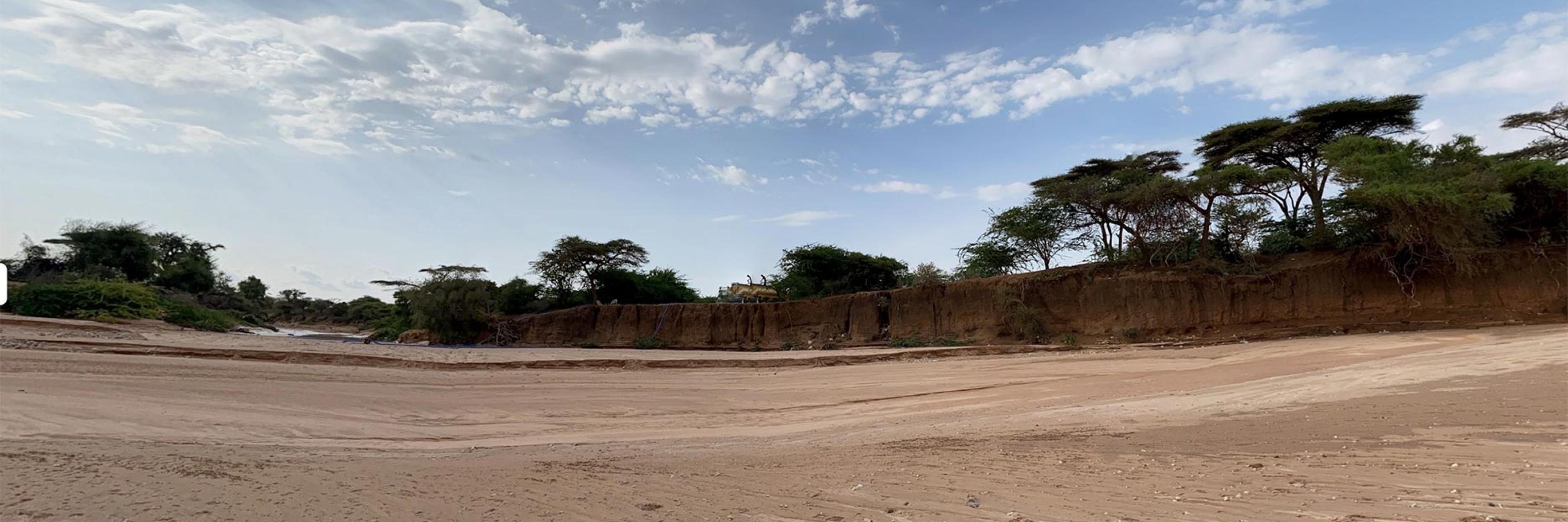
Dooxa Hargeysa
The study area is bounded by two villages - one called Xaraf, located west of Hargeysa, just before the river flows into the city, and the other called Aw Barkhadle, situated on the eastern side of the city, where the river passes through. Both these villages have their own historical significance in the development of the city of Hargeysa since its inception.
Rationale
The effects of Climate Change are altering the course of this historical river, which in turn is damaging the heritage sites and historical urban planning of the city. This issue is further exacerbated by the pressing urbanization, city expansion, and the land requirements of a rapidly growing capital city, all of which have already led to encroachments on the land. The study aims to develop policies to manage the situation by adopting the approach of coexisting harmoniously with the river and support the local government in Hargeysa to delineate the river's boundaries and legally protect it from encroachments.
Strategy
The project undertakes a multidisciplinary investigation of the river, with the aim of embracing the concept of "living harmoniously with the river, rather than battling the water". The ultimate goal is to develop comprehensive policies that govern this coexistence between the river and the people.
Methods
The river has historically been and continues to be a crucial migratory and transportation route for both humans and wildlife. This project aims to document and preserve the oral poetry, songs, music, and histories related to the river and the cultural life surrounding it. It also traces back the biodiversity revolving the bed of the river along the stretch of the river understudy, and to compare what has changes in time of urbanization in terms of endogenous vegetations and well as animals, in particularly focusing on birds of the Hargeysa River.